Choose a service and send us your mission details. We'll get in contact with you and schedule a time to capture your aerial data.
During the mission date we'll arrive on site to setup, activate insurance and email you a copy, capture your aerial data and make it available to you the very same day.
Access, view, and share your aerial data. Post production is available upon request. We'll update your invoice and get to work!
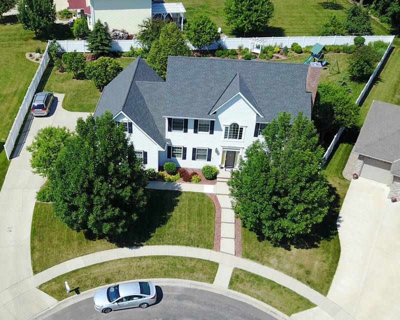
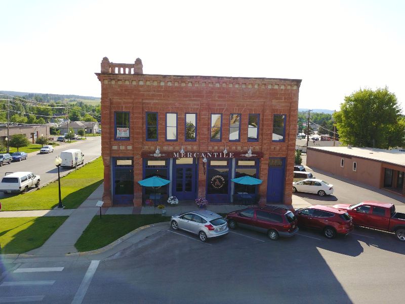
Photography
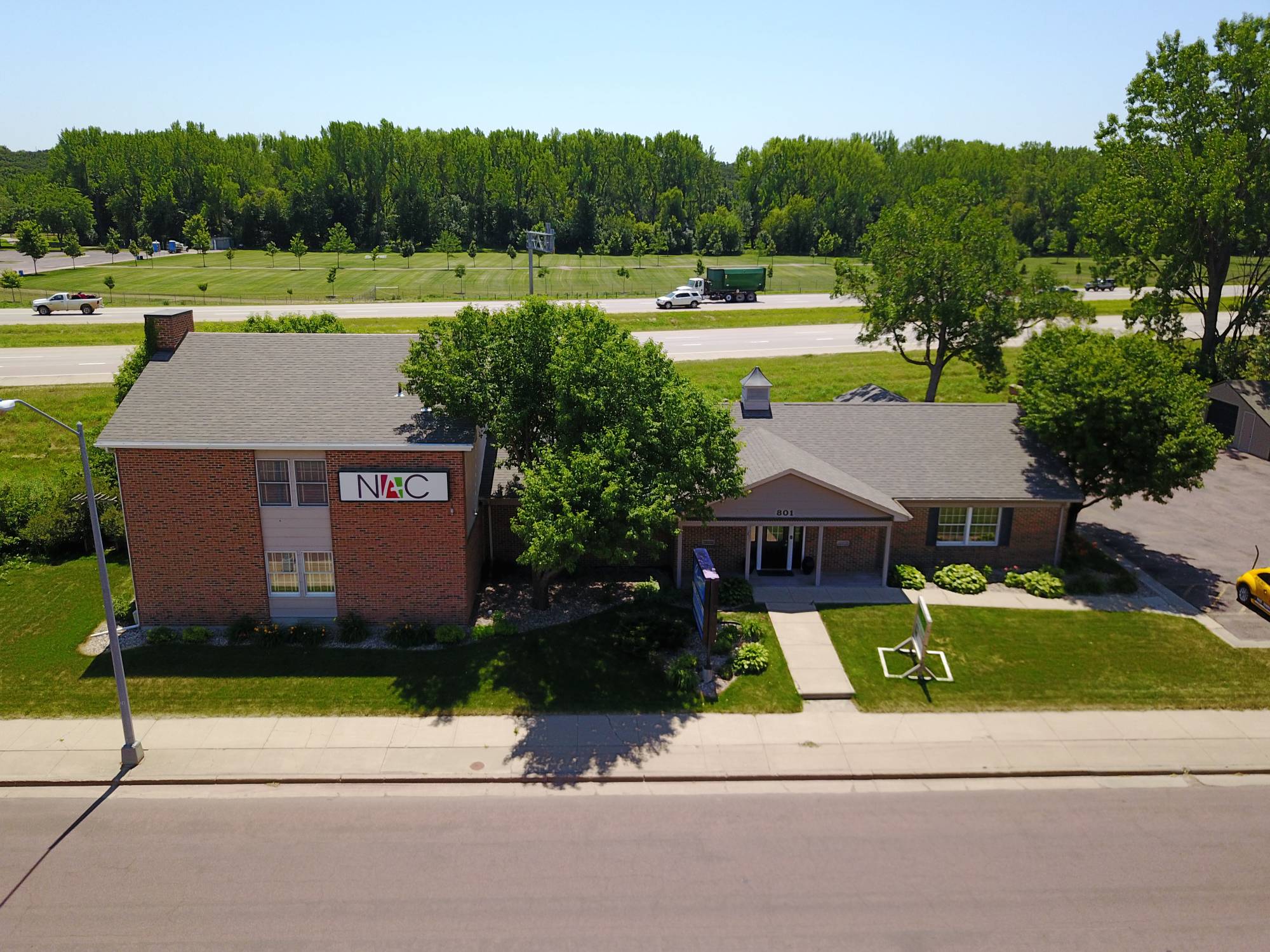
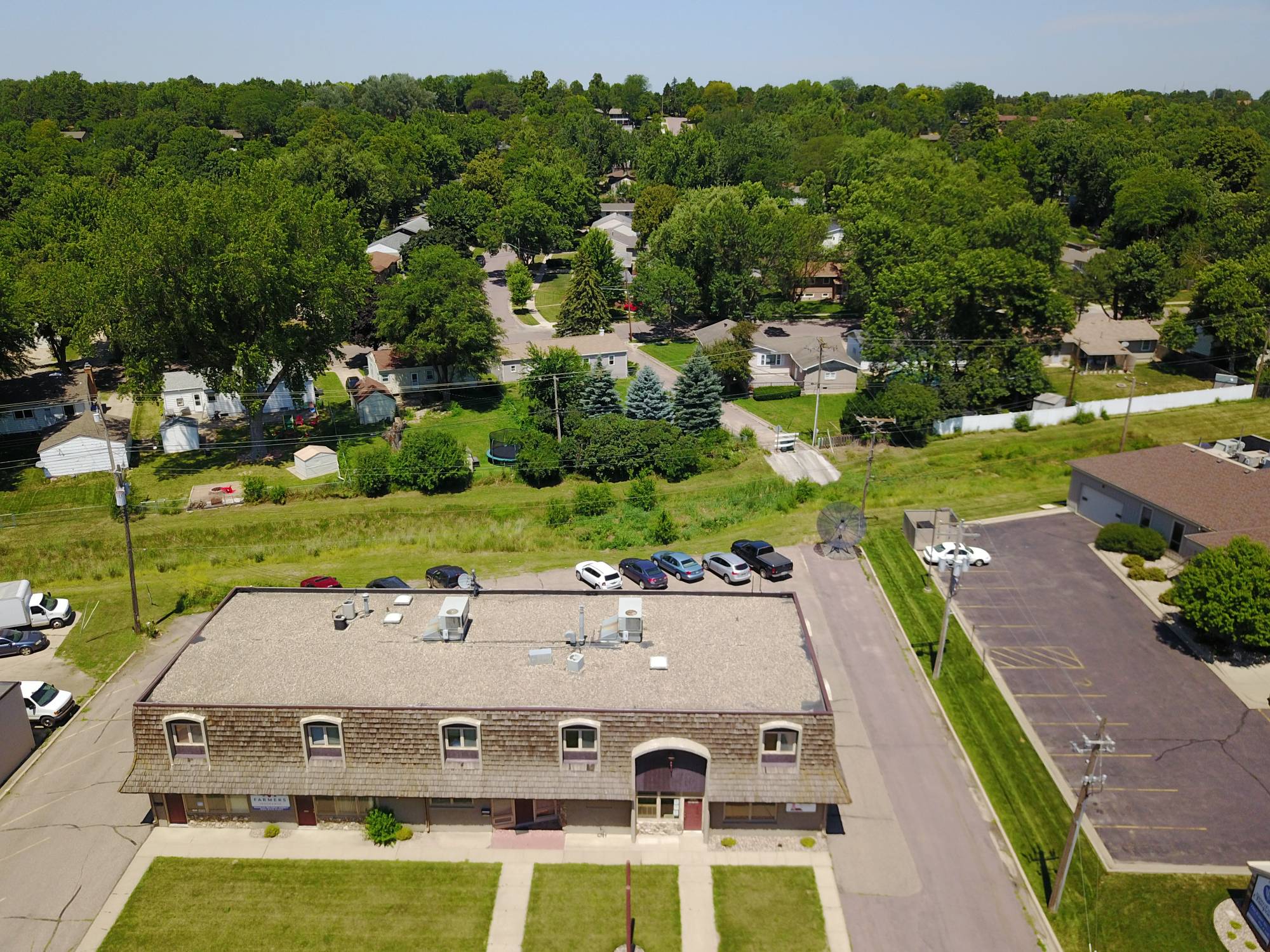
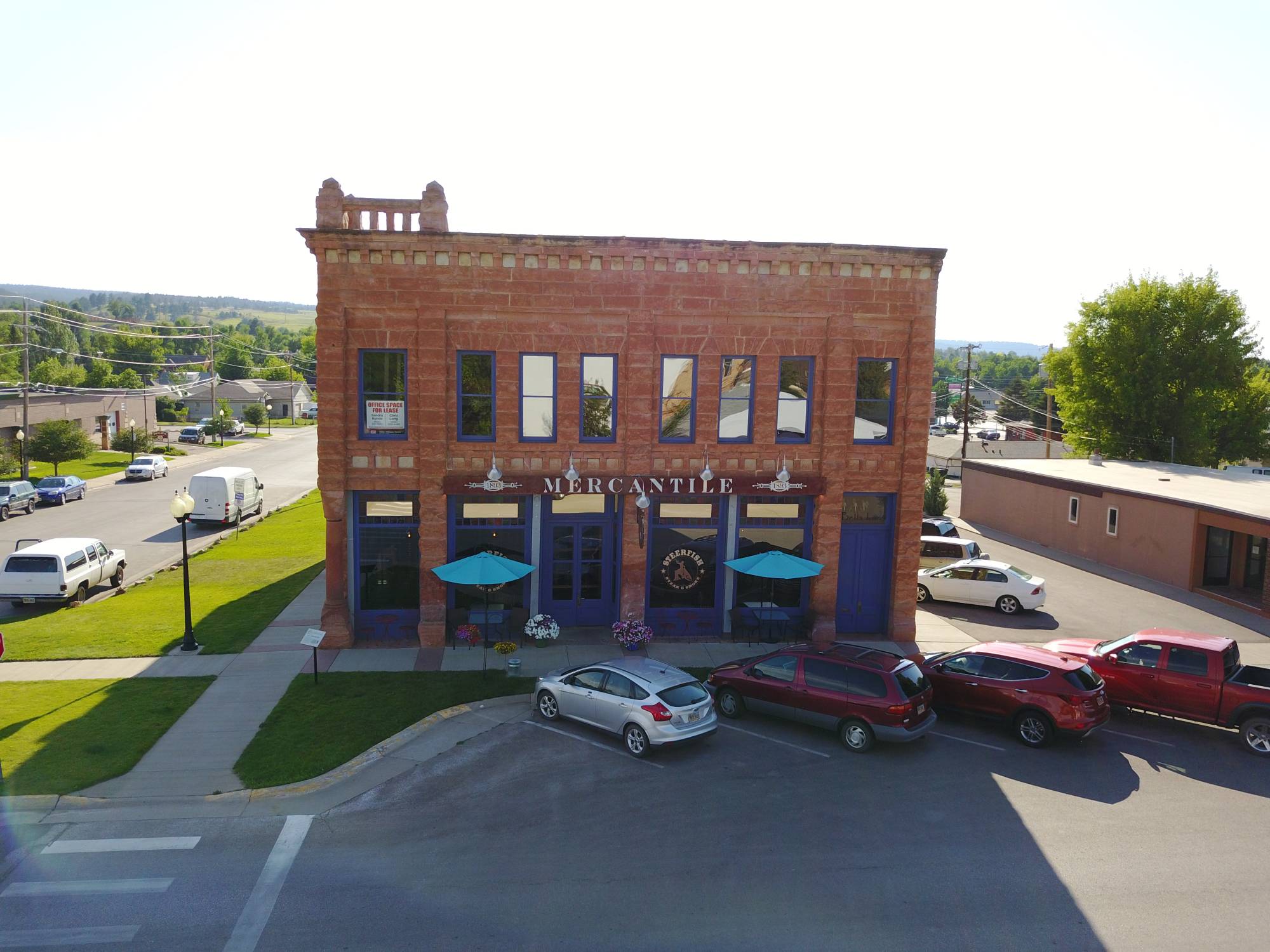
Includes high-end real estate, progression shots to showcase how your work gets done, and to promote and highlight your big events.

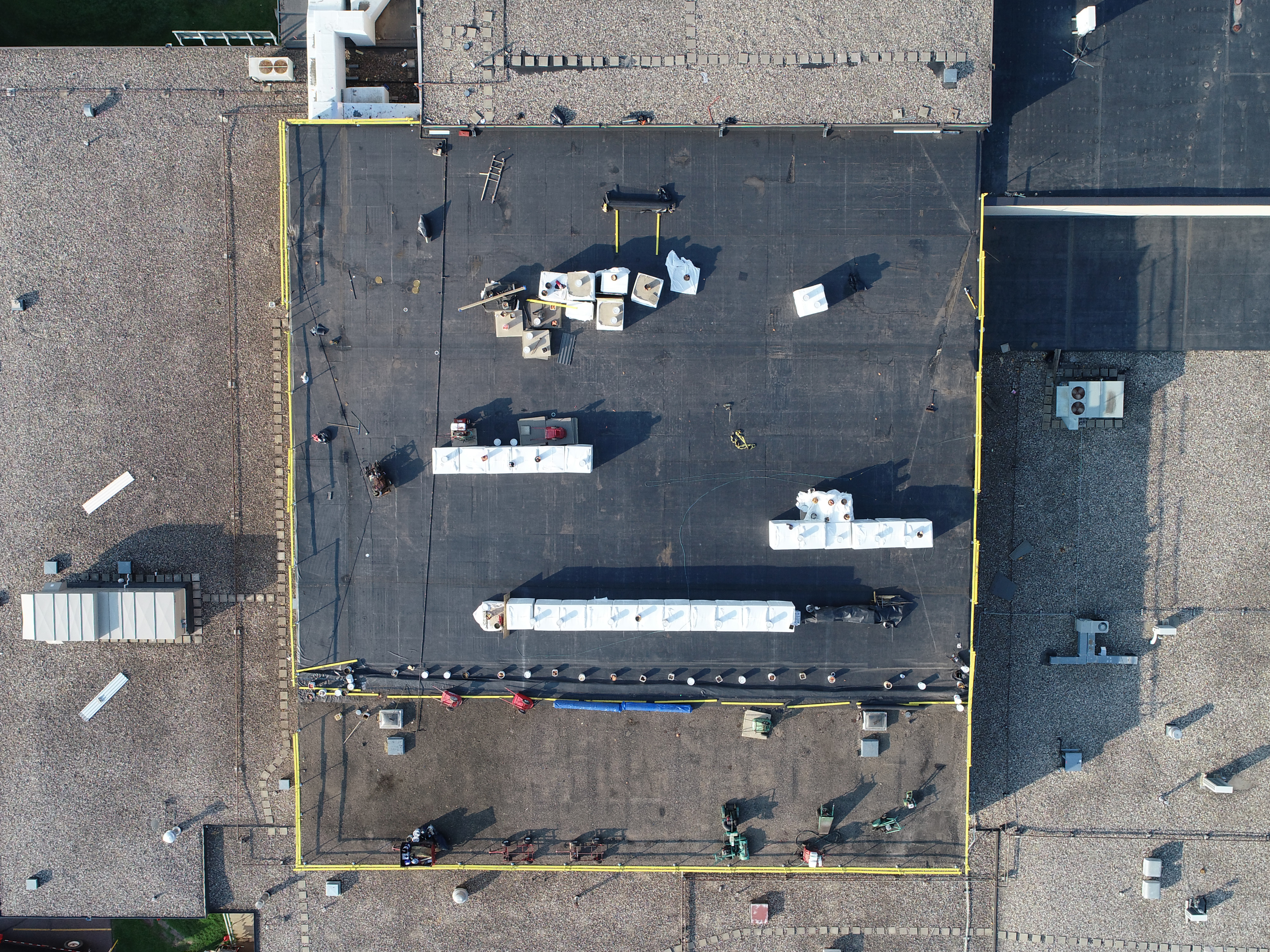
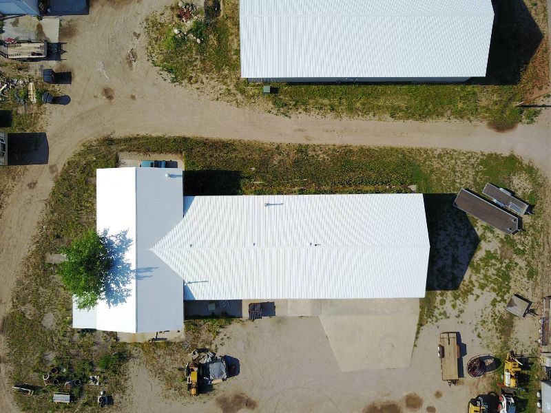
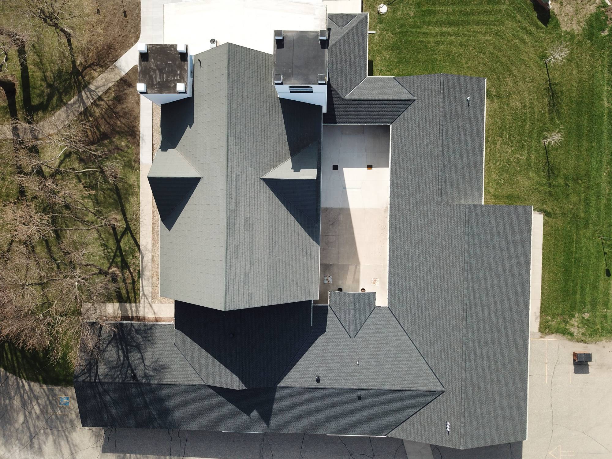
Construction
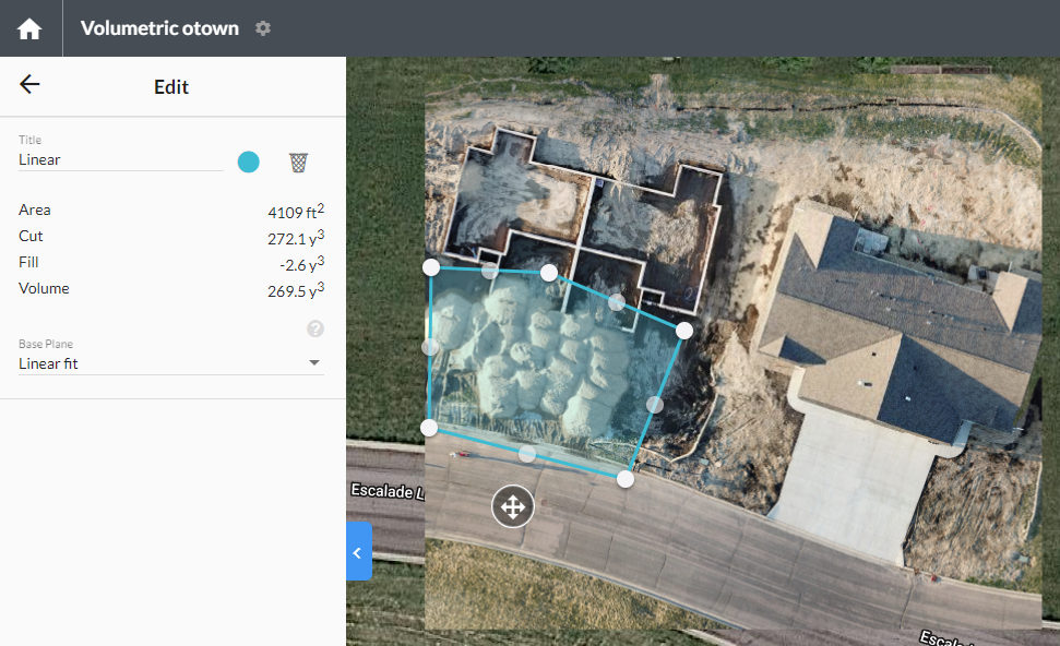
Capture data the way you want it. Construction data can be captured in a couple of ways.
Video that captures end-to-end production and showcases your work. Great for promoting your business to attract new clients and get awarded those big jobs. We shoot home and commercial construction in addition to road work and parking lot surfacing.
Still images that highlight the progression of your construction projects. Our Multi-Mission program allows you to setup multiple shoots with only one payment. Ask about our Multi-Mission pricing for discounts on future work using DroneWise LLC.
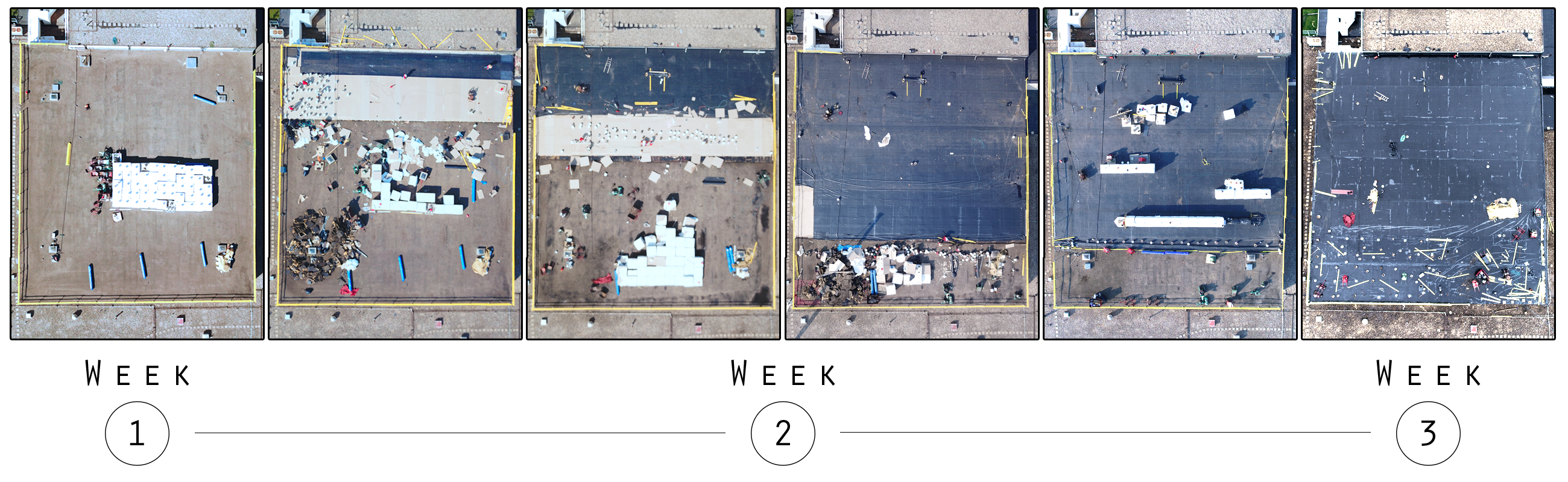
Roof construction progression missions display visuals over time showcasing your work and timetable.


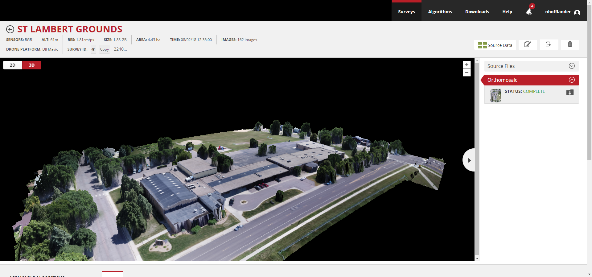
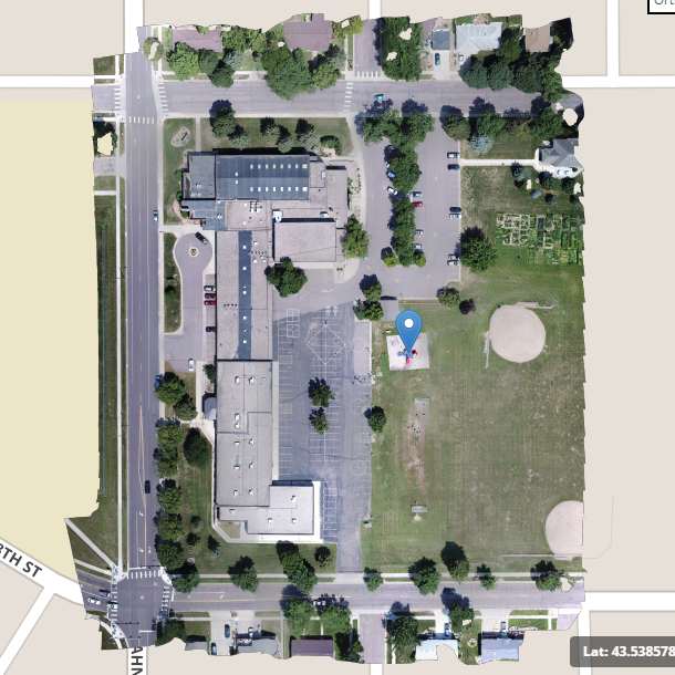
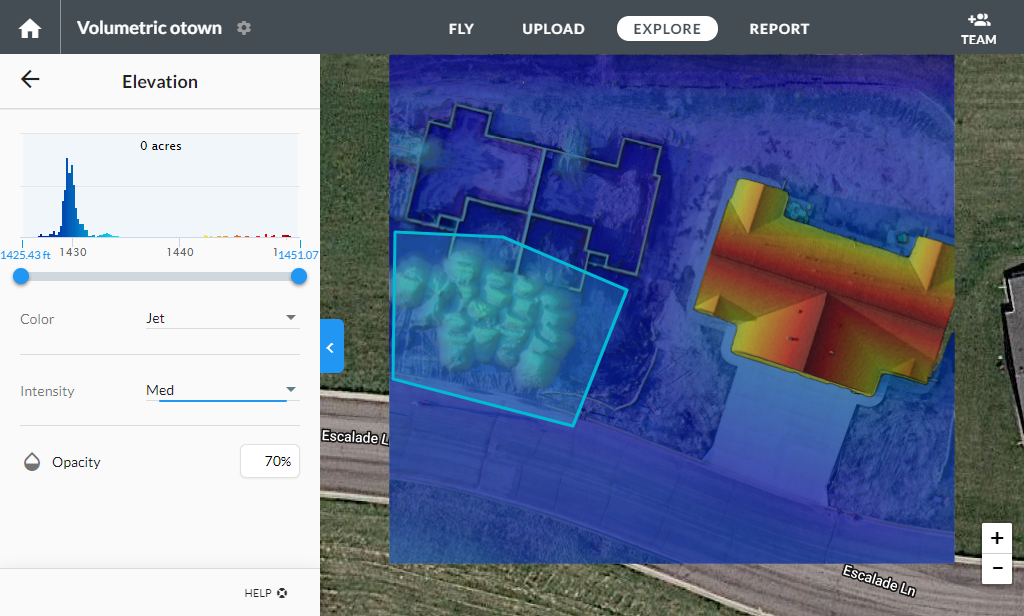
Mapping/Geo Referencing/Survey
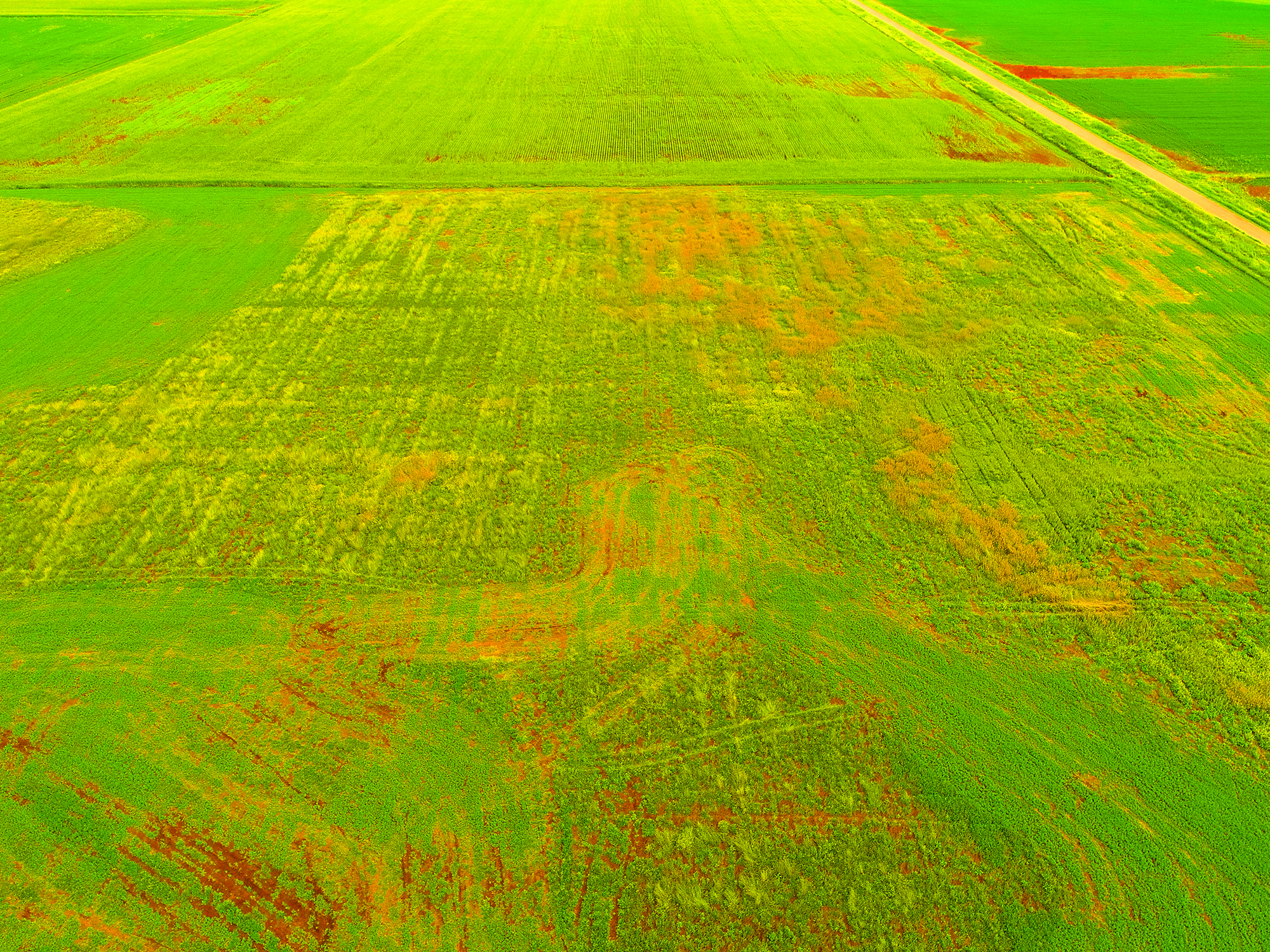
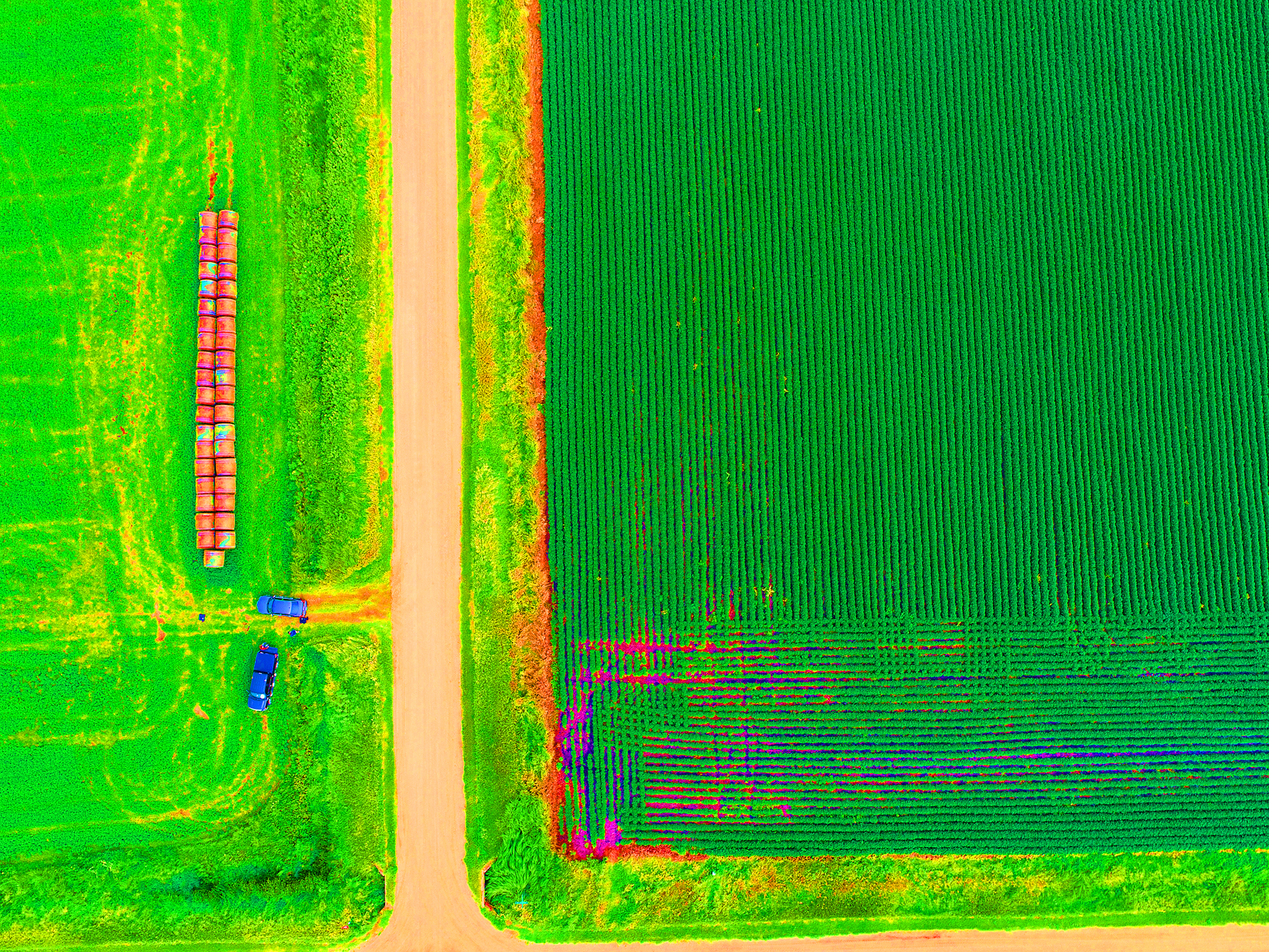
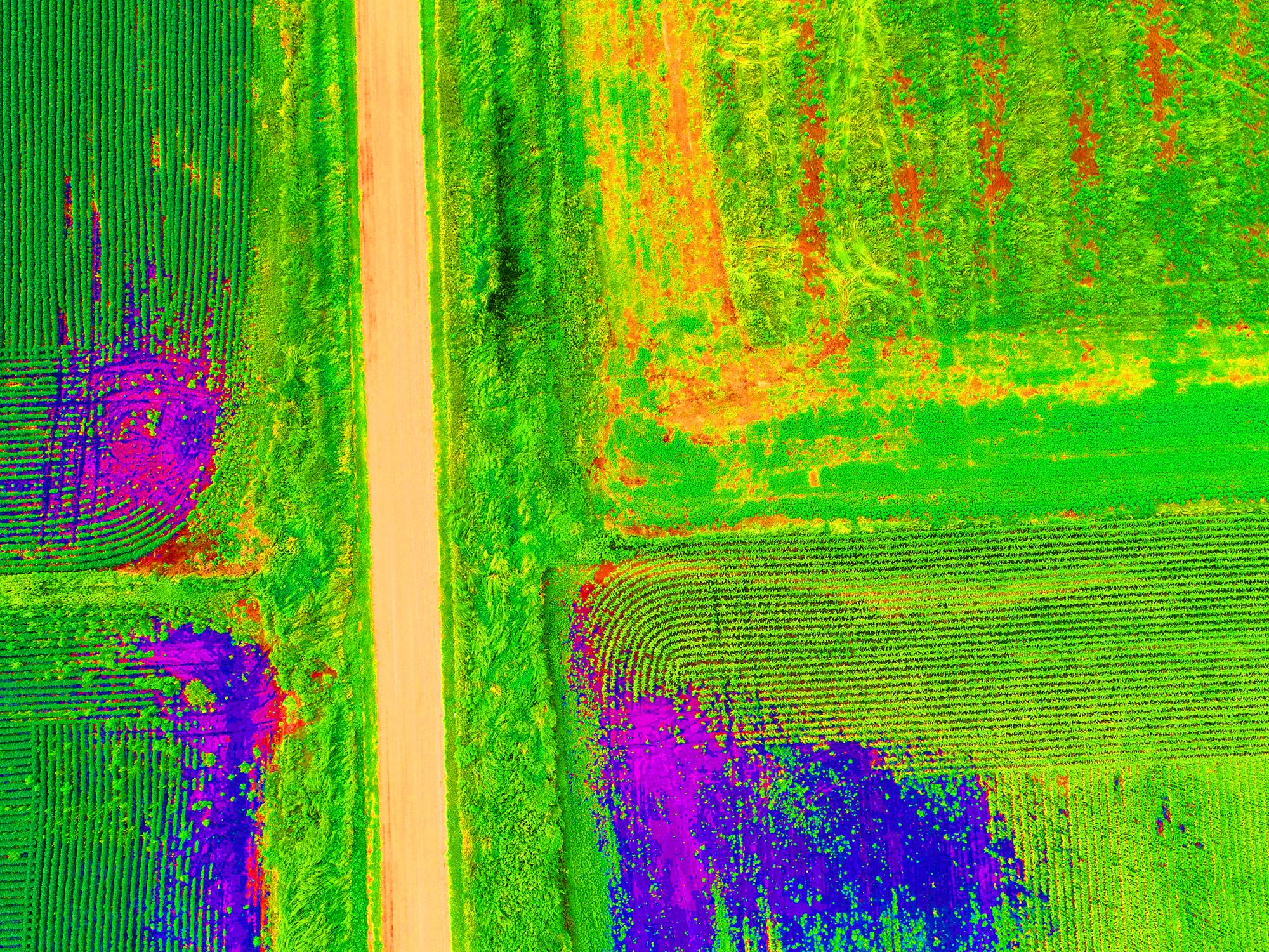
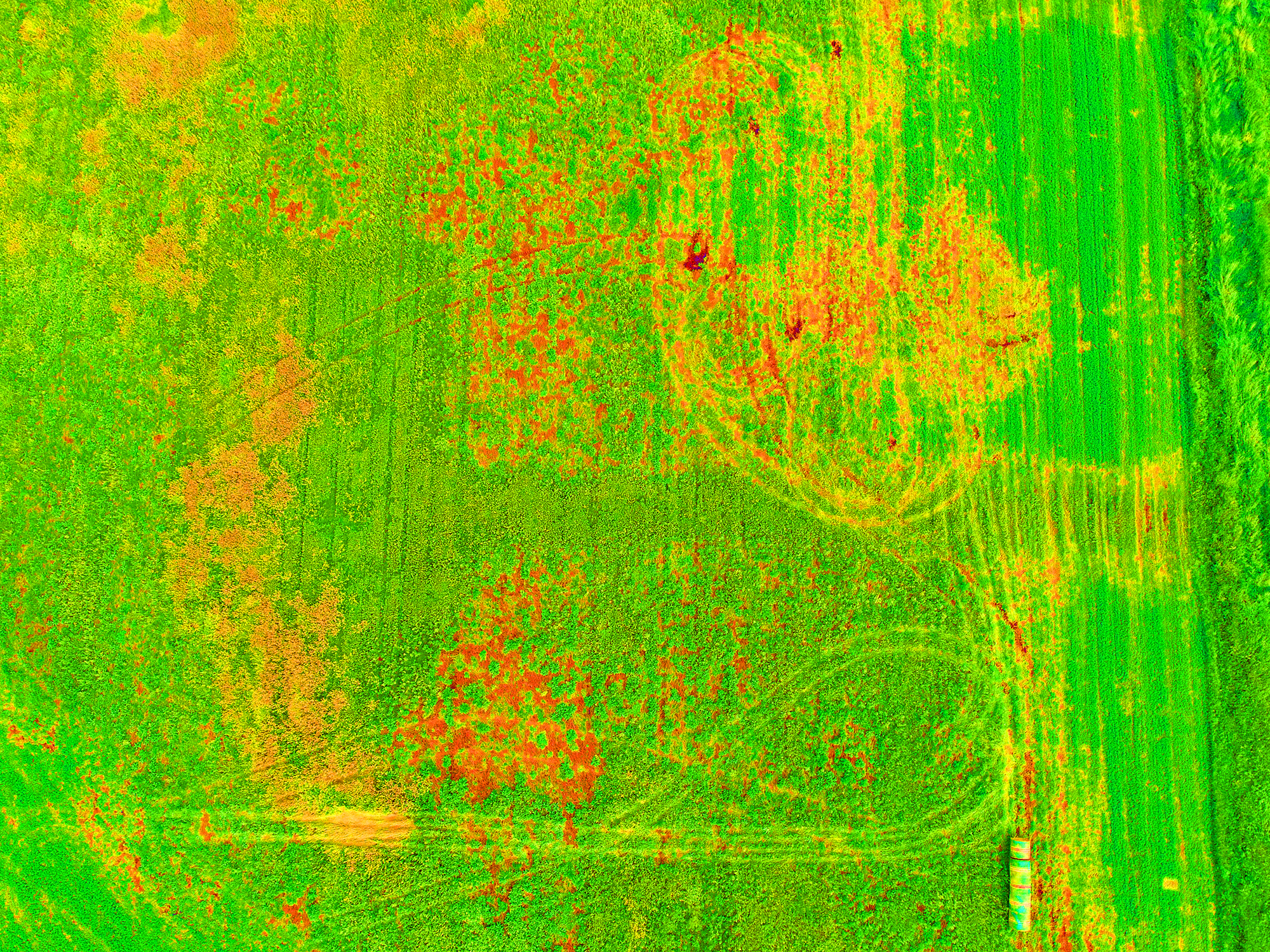
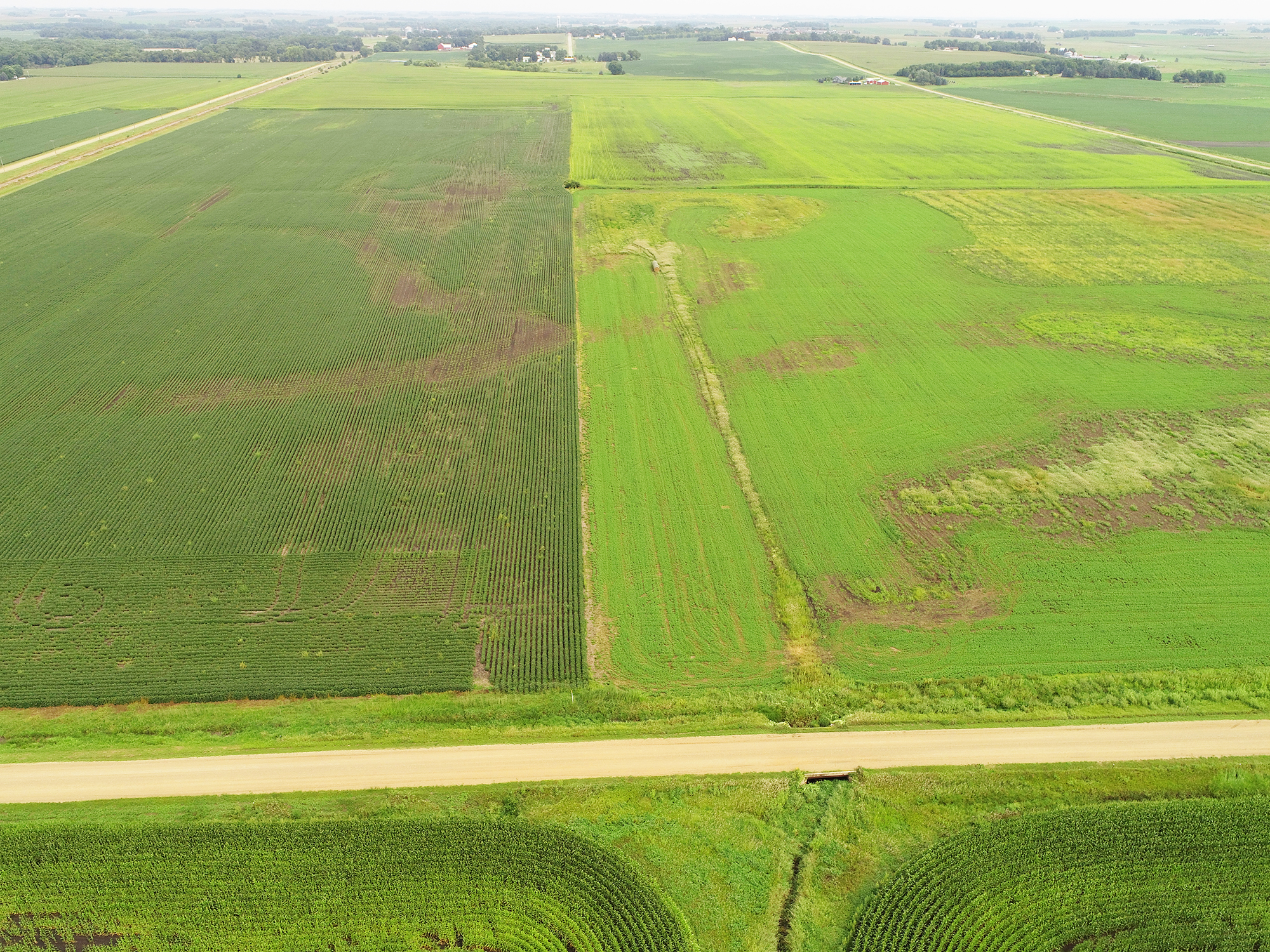
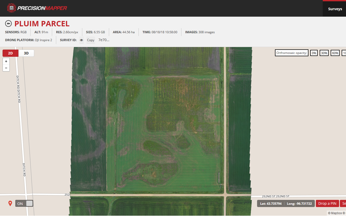
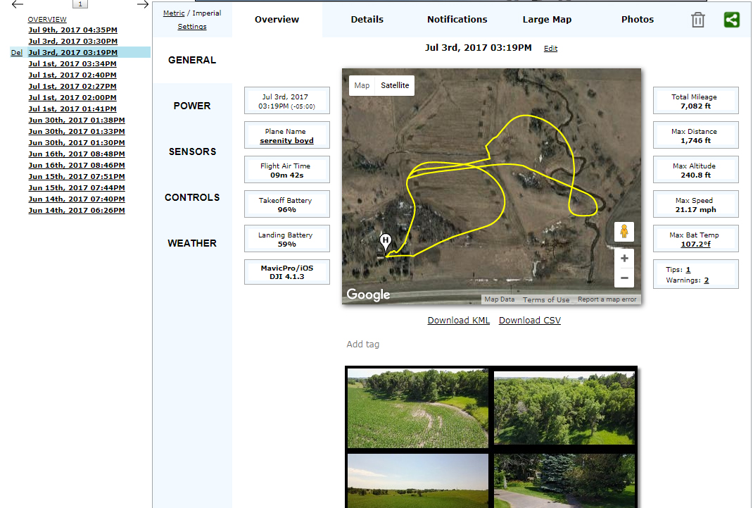
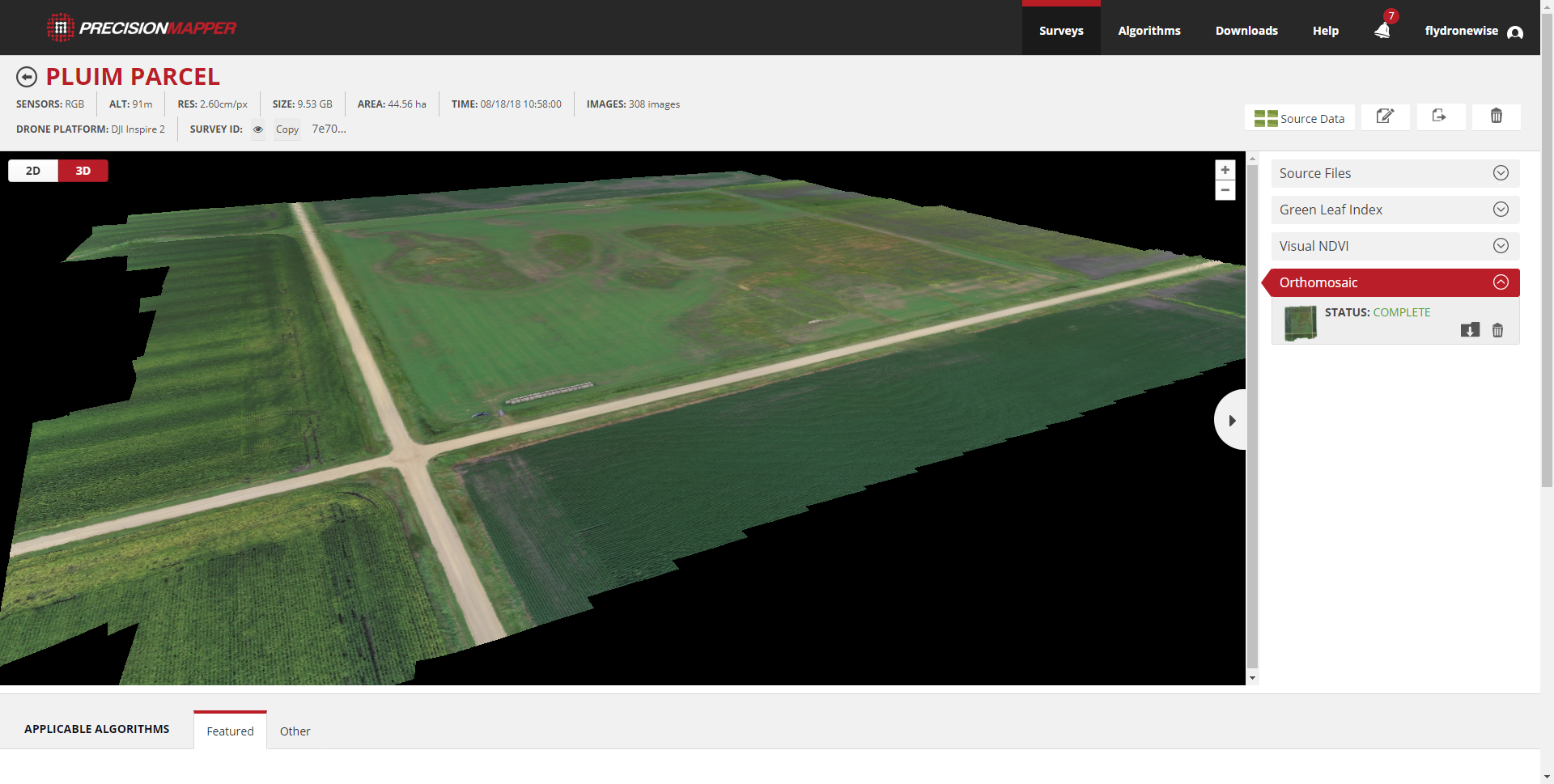
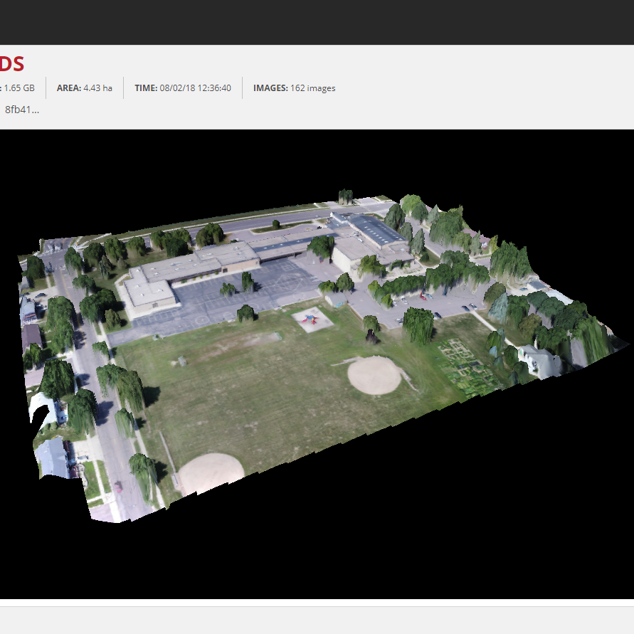
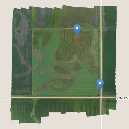
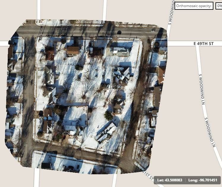
We use a variety of in-flight software that converts aerial data into actionable data. 2d and 3d mapping capabilities. Orthomosaic maps are a great way to get a quick survey of your property, construction projects, or for city zoning projects. Software we use is provided by Drone Deploy, Precision Hawk, DJI Ground Station, among others. We are continually evaluating new platforms to provide you with the most advanced output.


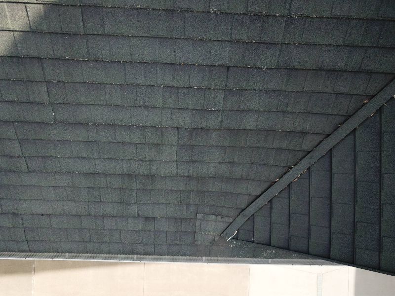
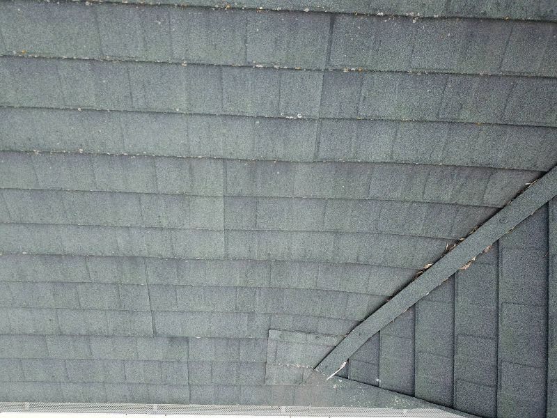
Inspections
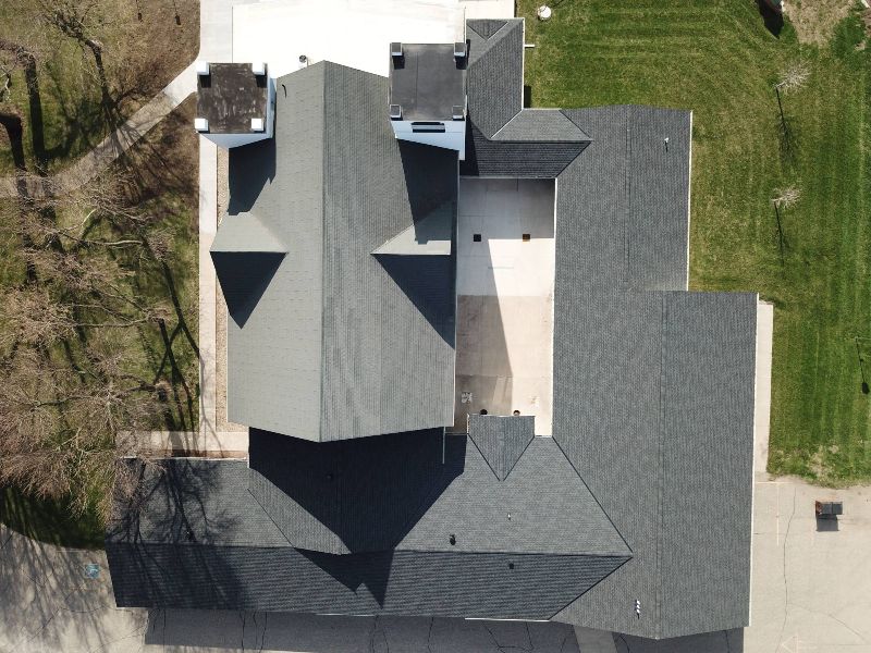
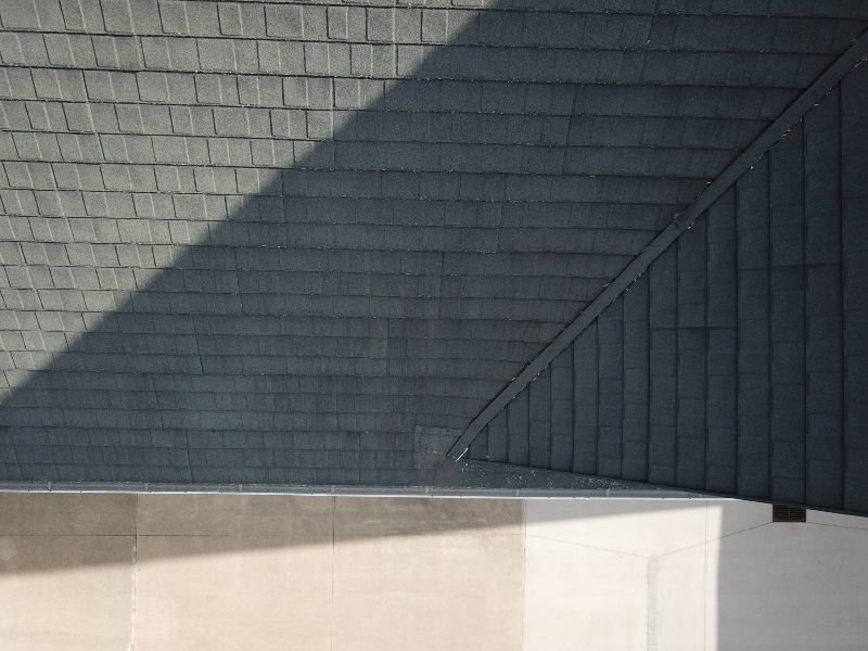
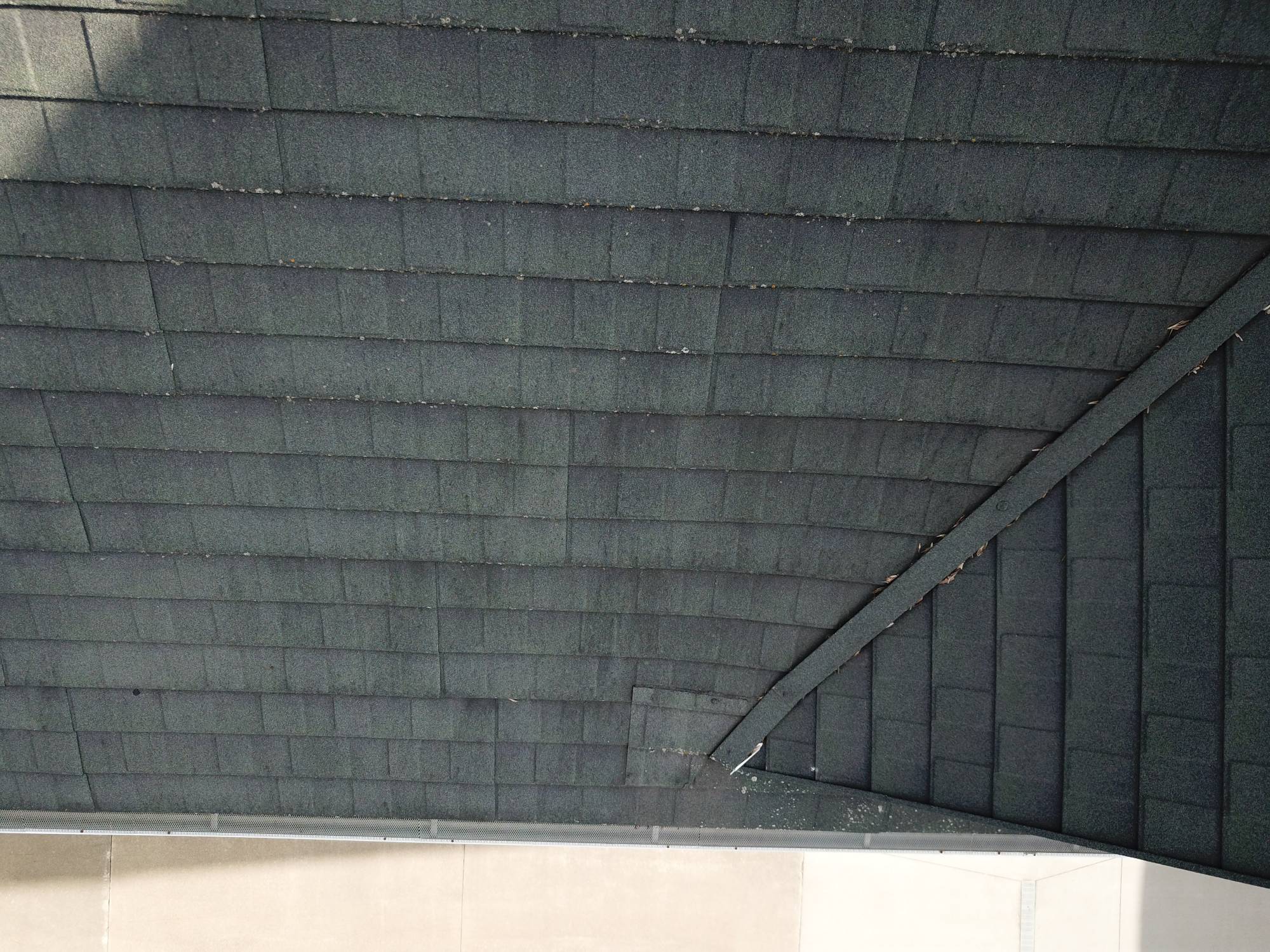
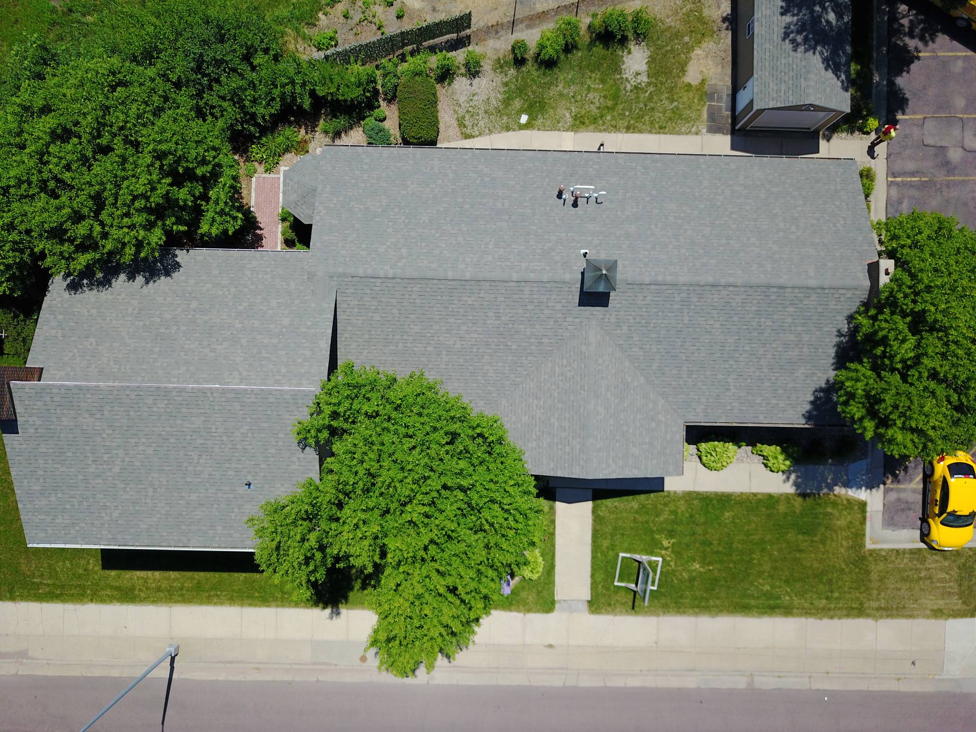
Roof and structural inspections. High definition images and video capture all the detail your clients need for a quality inspection.
Live-video enables Subject Matter Experts “SME” to make real-time decisions. Optical digital zoom for those hard to reach places covering multiple locations from a single take off point.
Give us a shot list and we'll capture your data.
- All

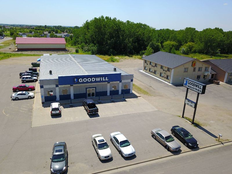


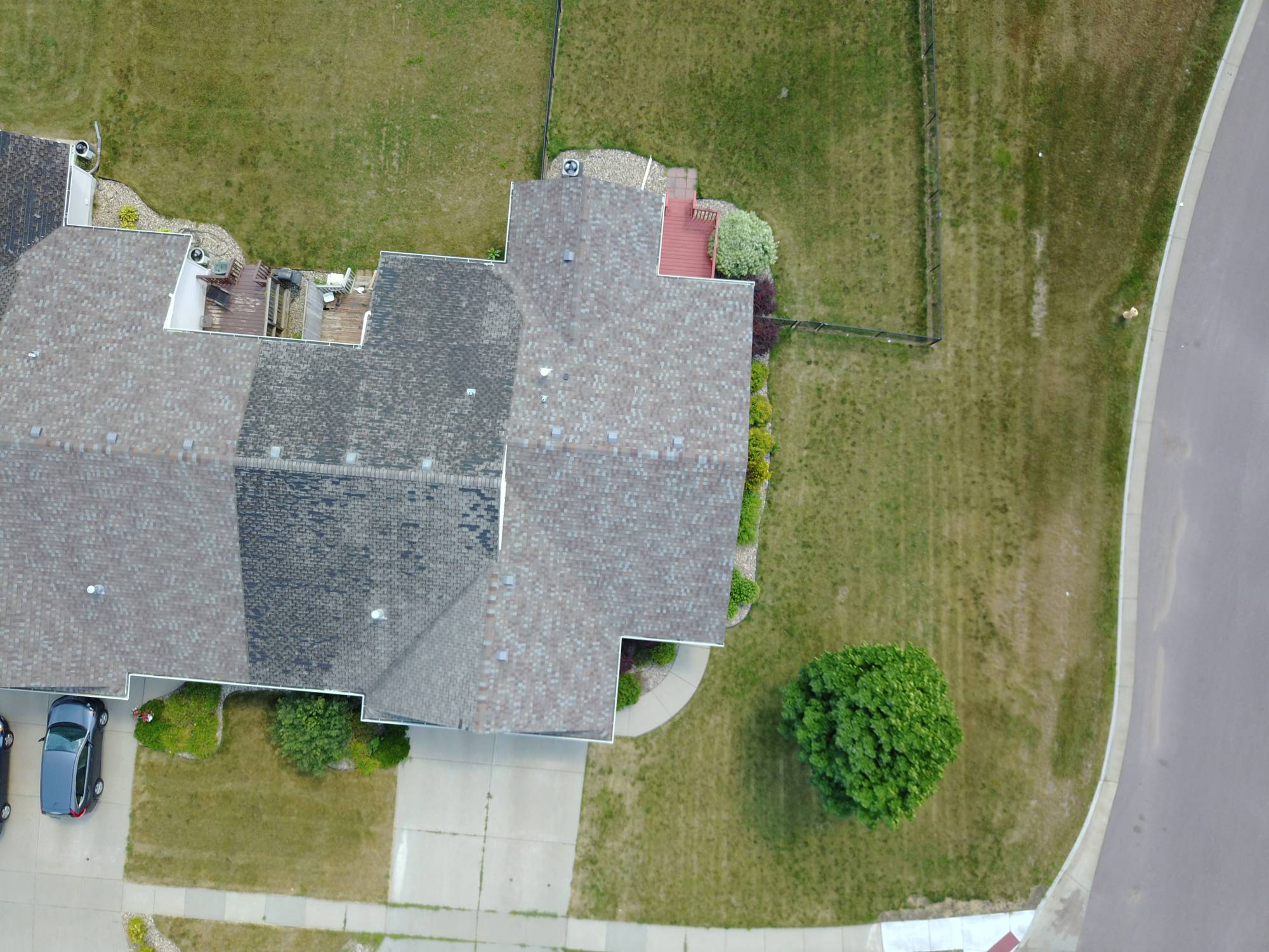


Mapping
DroneWise LLC can produce mapping projects for a variety of needs. City planning, construction sites, agriculture, and for asset management. We use a variety of in-flight software that converts aerial data into actionable data. 2d and 3d mapping capabilities. Orthomosaic maps are a great way to get a quick survey of your property, construction projects, or for city zoning projects. Software we use is provided by Drone Deploy, Precision Hawk, DJI Ground Station, among others. We are continually evaluating new platforms to provide you with the most advanced output. We've got you covered.